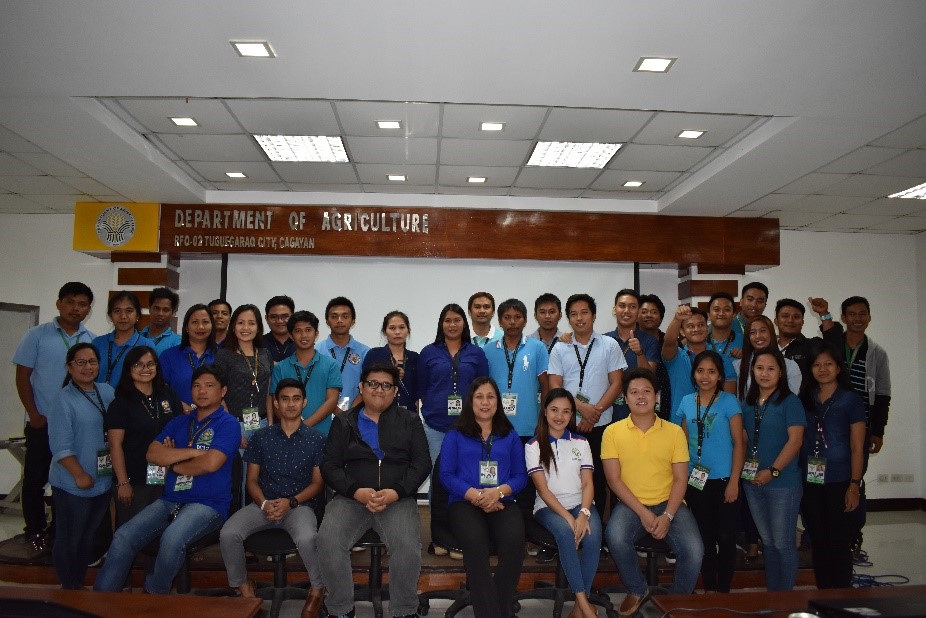
Tuguegarao City, Cagayan- The Department of Agriculture- Regional Field Office No. 02 (DA-RFO 02) in tandem with DA-Information and Communications Technology Service (ICTS), and Philippine National Information Technology Standards (PhilNITS) conducted the GIS-Cloud Training on August 9, 2018 at DA-RFO 02 Organic Training Hall, San Gabriel, Tuguegarao City. The event was participated in by 40 trainees coming from the Planning, Monitoring and Evaluation Division (PMED), Regional Agricultural Engineering Division (RAED) and Cagayan Valley Research Center (CVRC). The selected trainees were identified by having basic knowledge of GIS and/or producing outputs that are GIS-related.
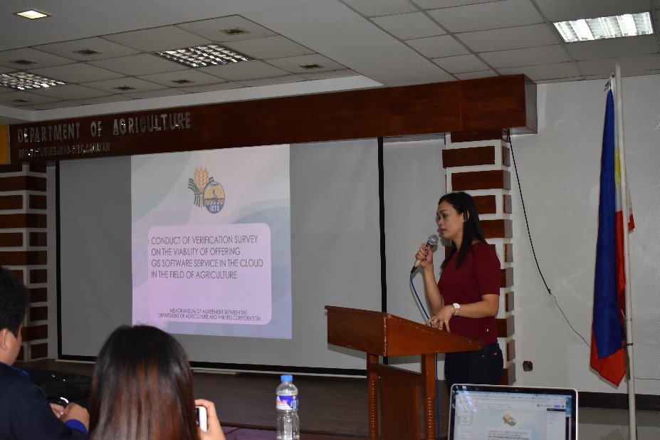
As Ms. Jocelyn O. Mogado, OIC-chief of the Network Operations and Management Division of ICTS, explained during her talk on Project Brief, DA has entered into a partnership with PhilNITS Corporation to conduct a verification survey on the viability of using GIS service in the Cloud in the field of Agriculture. The project is sponsored by the Japan External Trade Organization (JETRO).
The resource persons were Mr. Xyrus Nosidal and Erwin Mark Arcigal, both programmers from PhilNITS assisted by ICTS staff headed by Ms. Mogado and two other staff. They introduced the GeoCloud technology, an online GIS. The technology is similar to the popularly used GIS software like ArcGIS and QGIS; its difference is that GeoCloud needs internet connectivity to be used. Along with GeoCloud GIS is the GeoCloud Map Viewer, a repository facility for uploading and viewing GIS data.
Trainees were given exercises for familiarization of the software and hands-on activities to experience basic processes of the GeoCloud technology. Although it was just a one-day training, the trainees expressed their enthusiasm in using the technology during the open forum by recommending that there should be advanced features similar with the offline GIS software and data to be processed on the technology should not be limited but vast.
Ms. Kay S. Olivas, the Chief of PMED & ICT Unit, in her closing remarks, expressed her gratitude to the trainers for choosing DA-RFO 02 as one of the three (3) piloted regions to be part of this project. DA-RFO 02 felt very special unlike the other regions with just two to three trainees sent on their conduct of same training in Manila. Indeed, it is also a challenge on the part of DA-RFO 02 to increase its capacity in the field of GIS for the modernization of agriculture in the region.